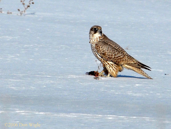
iroquois shoreline
We are located in North Whitby on the border of the Town of Brooklin. Our GPS for our 10x10 platform is N 43 degrees 56' 6.3" W 78 degrees 58' 8.7". When the last ice‐age receded it caused an ice dam at the mouth of what we now call the St. Lawrence river causing the run off to form a giant lake known as Lake Iroquois. Our platform sits up on a bluff which was the shore line, hence the the name “Iroquois Shoreline Raptor Watch”. The site is in the Heber Down Conservation Area, part of CLOCA.
